Natural enviroment
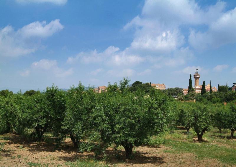 Reus is a rich territory beyond the urban extension, a fertile land that maintains agricultural operations and farms, which is supplied by mines and water wells.
In the landscape that surrounds the city, there are preserved farmhouses that bear witness to an agricultural past that were also used for the summer holidays of the people of Reus during the past centuries and that are now private homes or have been recovered as public facilities by its historical and cultural value. Those that have not been included in the urban center serve to structure paths and as a refuge for animal species.
In addition to the paths, the peri-urban space of Reus is articulated by streams and ravines, where the region's greatest natural wealth resides. However, water has historically been a scarce resource, so the need to obtain it has bequeathed numerous irrigators, reservoirs and pipelines that today can be visited through the Water Routes.
The Green V
The so-called 'Green V' is a network of open spaces and a structure of green systems on the outskirts of the city, which traces the shape of a low V on the map. The Green V includes and enhances the landscape of the area, taking into account its identity features such as the streams and ravines and the vestiges of the agricultural area. You can then consult the project documents'The Green V. Study of the Free Spaces Network of the city of Reus', commissioned by the Reus City Council, understanding that the landscape is an emerging value in societies.
The Green V. Study of the Free Space Network of the city of Reus, 2008.
Study carried out by the Center for Research and Landscape Projects of the Urban Planning and Spatial Planning Department of the UPC
- V Green Report (pdf)
- General plates: Sheets 1, Sheets 2, Sheets 3.
- The landscape of the Terraces (1)
- The industrial landscape (2)
- The water landscape (3)
- The Plan landscape (4)
- The landscape of the Three Rivers (5)
Based on the 2008 study, it is published in 2022 "Action plan for the development of the Green V" which marks the main lines and strategies to follow to develop the Green V. Specifically, it consists of 38 actions framed in the following strategic lines:
- Visual improvement and landscape impact
- Management and criteria and recommendations for new actions
- Connections and itineraries
- Environmental improvement and resilience strategies
- Creation of space and conditioning
This document can be consulted on the Transparency website, in the programming and planning section.
of Civil Engineering
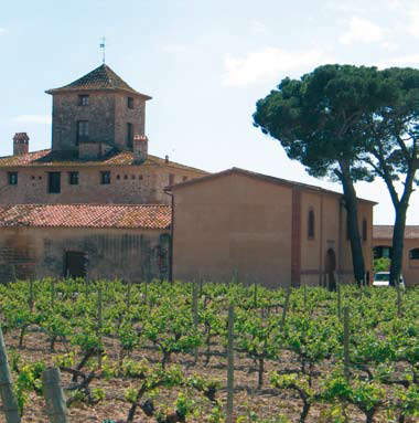 The main network of roads in Reus consists of 108.200 meters and they cover the entire territory, as they used to connect with all the towns neighboring Reus. Many of the roads have been fragmented forming a new network due to the communication infrastructures and urbanization, but they still develop a vital function of communication with a large part of the term. The Reus road maintenance and improvement plan allows the network to be managed.
In fact, the path network is used both by the neighbors of the farms and by citizens who do sports and walks in quiet areas. In addition, on this website you can download the road map of Reus and various itineraries.
Road map of the municipal area of Reus
Farmhouses
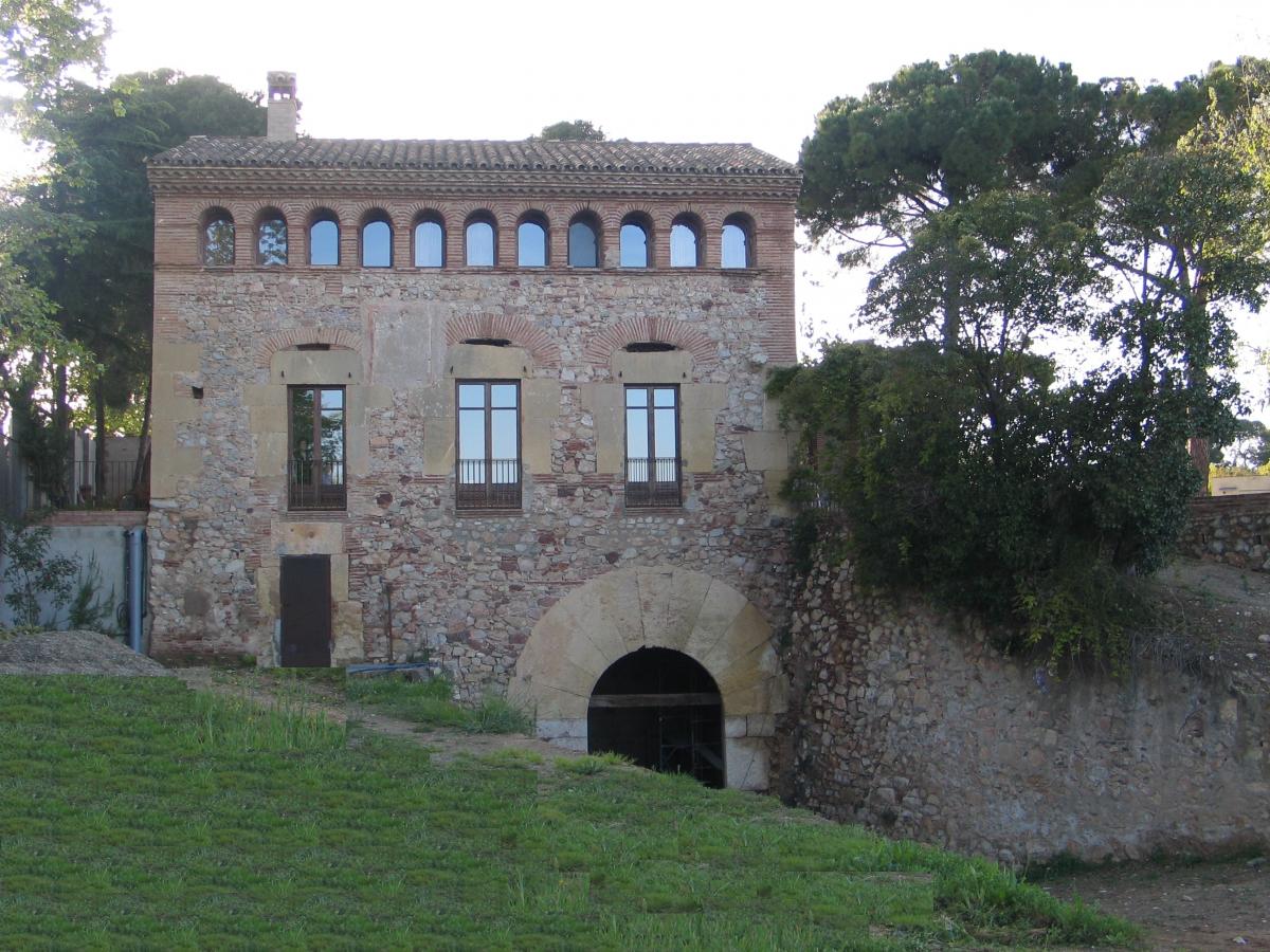
The farmhouses, towers and farms around the city of Reus bear witness to the agricultural past of Camp de Tarragona. They are fundamental landscape elements, which structure the agricultural subdivision and the road network. They often have a very important monumental, historical and cultural aspect. Linked to the farms, there are traditional crops and private gardens, with a variety of native and garden trees. From 2002 to 2004, an inventory of the farms was carried out. Some of them are included in the Special Plan for the protection of the architectural, historical, artistic and natural heritage of the city of Reus.
Trees of local interest
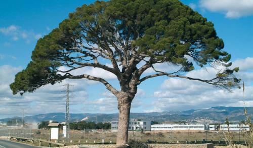 A study prepared by the City Council highlights the 28 most remarkable and unique trees in the district of Reus with the aim of safeguarding them. They are Trees of Local Interest, a catalog regulated by the Generalitat de Catalunya, according to which trees with some scientific particularity, with historical importance, of extraordinary dimensions or because of their age can be declared trees of local or regional interest. In addition to the 28 trees of local interest, the Pi de Bofarull was declared a monumental tree by the Generalitat de Catalunya and the Pi del Burgar, a tree of regional interest.
Mining
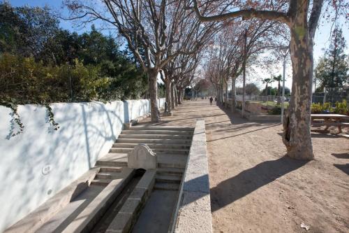 The term of Reus is located in a poor alluvial plain with permanent water courses. For this reason, since time immemorial the people of Reus have organized themselves to obtain water for consumption and for irrigating crops. Wells and mines were the way to cover the need to bring water to the city. Many of the mines, however, have been forgotten by the potable water supply network and the mini-sewage of the Ebro, but others are still in use. In 2004, an inventory of existing mines was made. Currently, urban planning projects take into account the old mines to give continuity to their route or to take advantage of the water they transport.
Streams and ravines
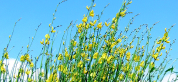
Streams and ravines are very important and backbone elements of the natural spaces of Reus and function as true natural corridors. From the Environment Area, we work to prevent the burning of vegetation or the dumping of waste, to change the habits of citizens and, consequently, the appearance of ravines and streams. For this reason, vegetation conservation and restoration projects are carried out.
Hunt
Reus has a security zone where hunting is totally prohibited. Specifically, there are 9 hunting bans, with an area of 1.760,12 hectares located in the east and south of the city.


 977 010 010

